Skip to Content
home page
shop
gallery
Gallery Box
0
0
0
0
home page
shop
gallery
Gallery Box
home page
shop
gallery
Detail_1847_NYC_Map_3517.jpeg
1847_NYC_Map_3509.jpg
1847_NYC_FullMap_3511.jpeg
Angle_1847_NYC_Map_3526.jpeg
Angle2_1847_NYC_Map_3527.jpeg
Angle1._1847_NYC_Map_3523.jpeg
FrameDetail_1847_NYC_Map_3530.jpeg
Guide_1847_NYC_Map_3521.jpeg
Water_1847_NYC_Map_3519.jpeg
Detail_1847_NYC_Map_3516.jpeg
shop › Framed 1847 Map of NYC and Brooklyn

Framed 1847 Map of NYC and Brooklyn

$825.00

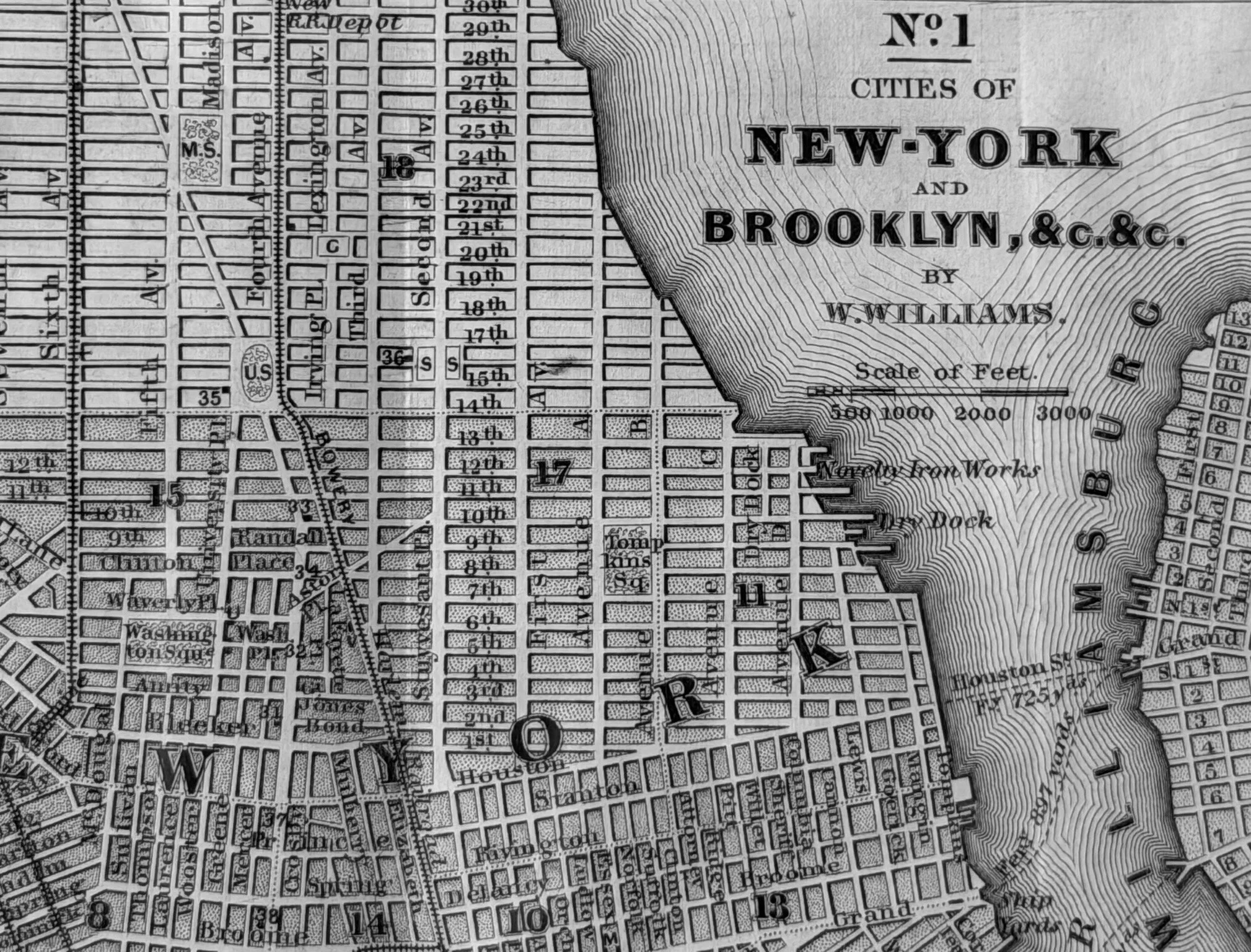
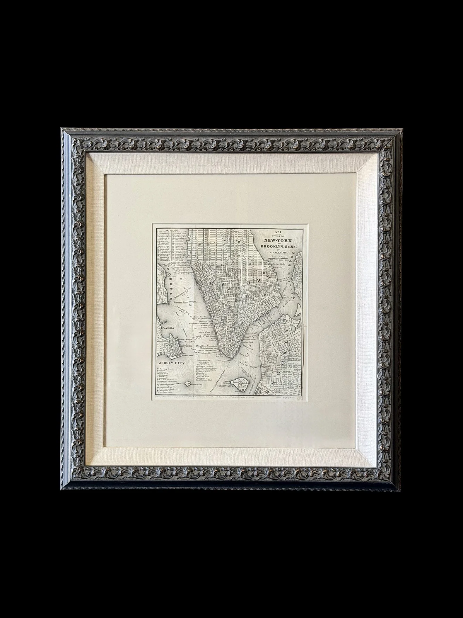
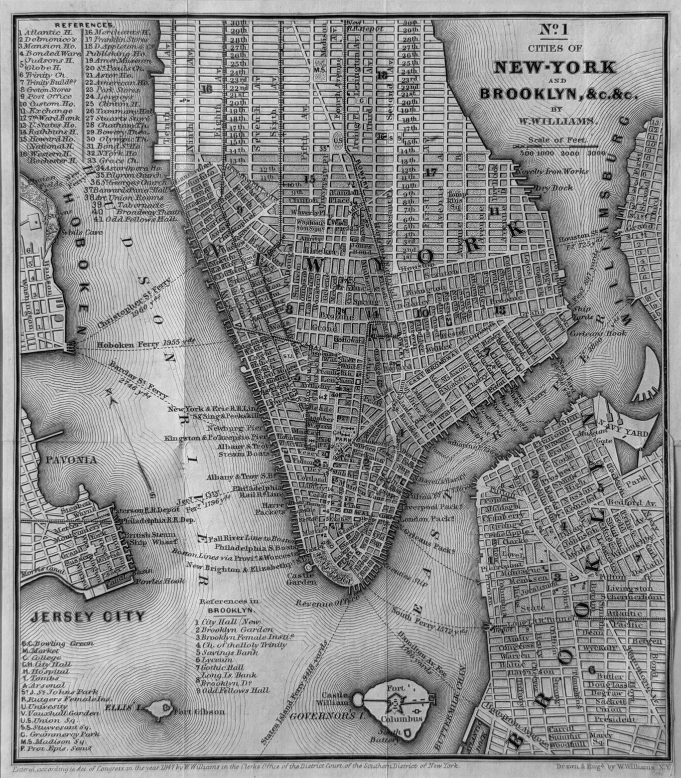
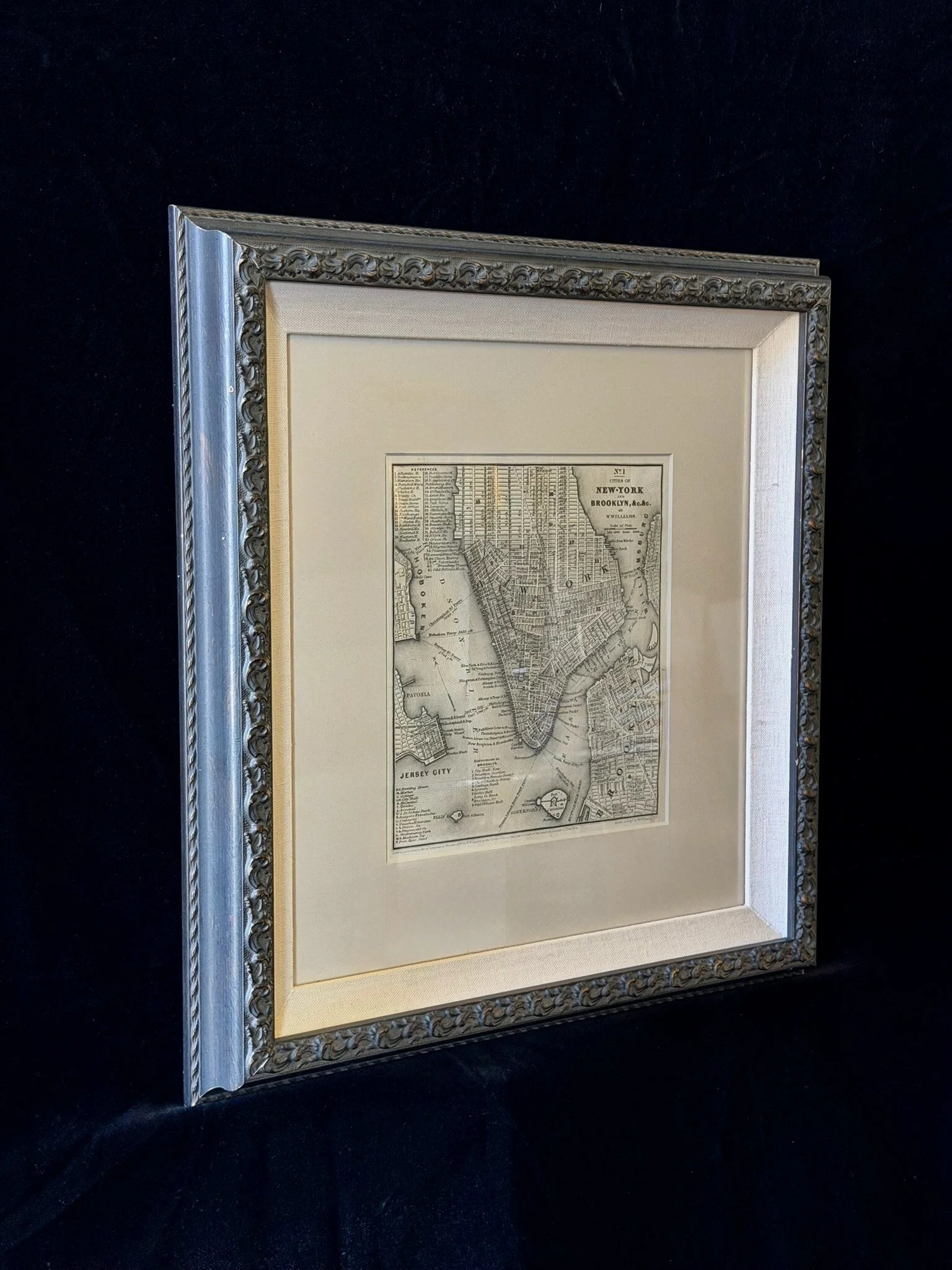
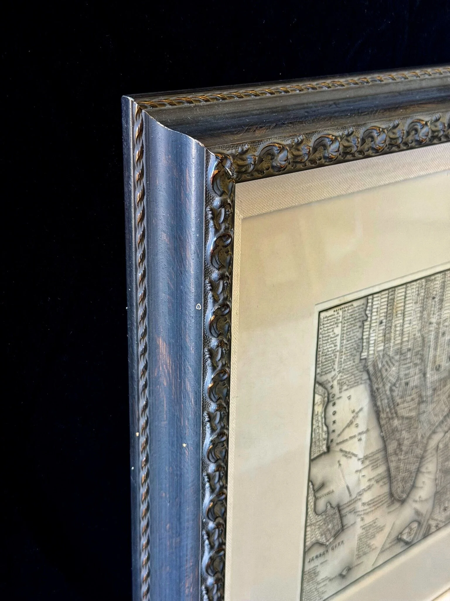
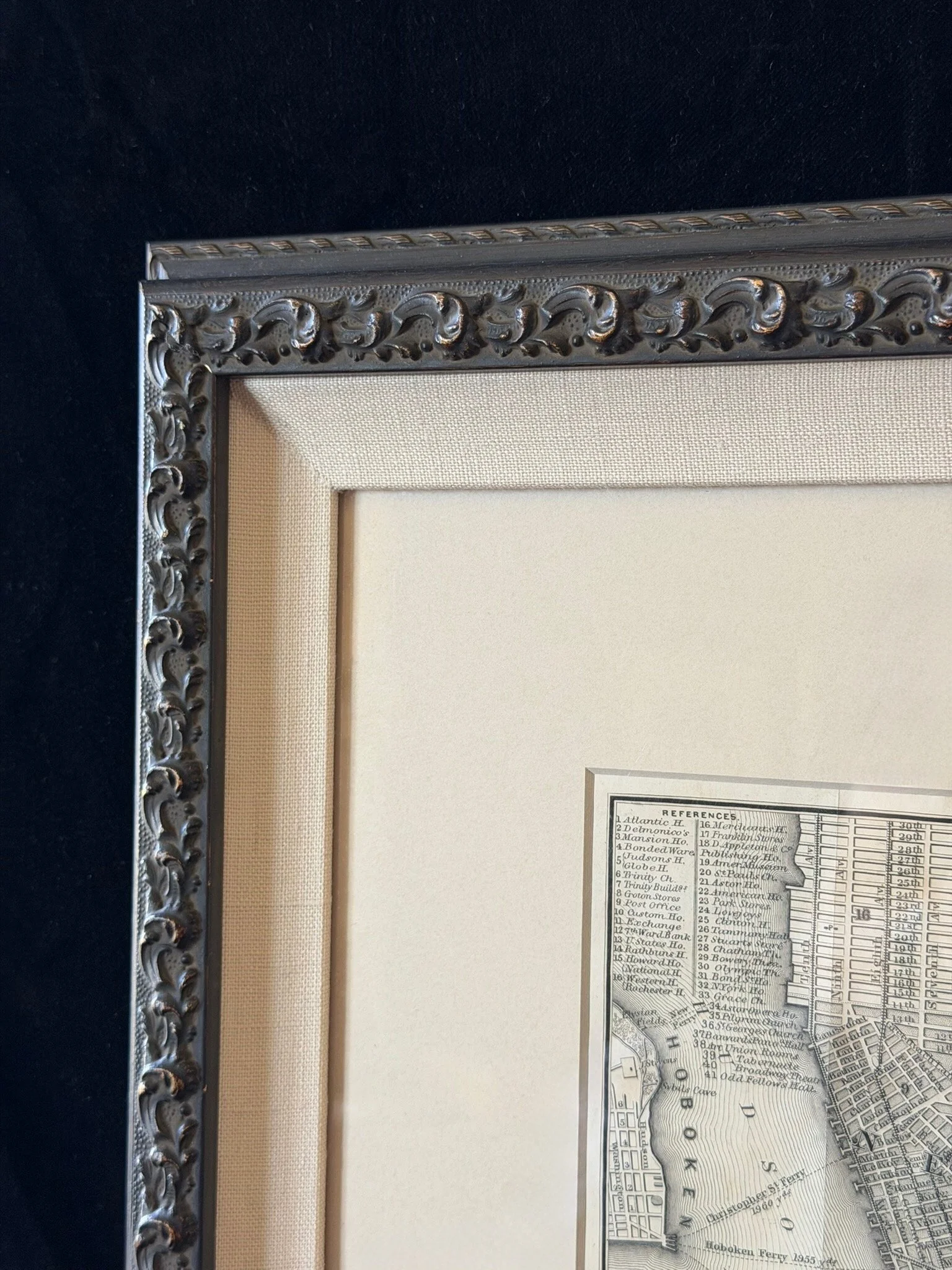
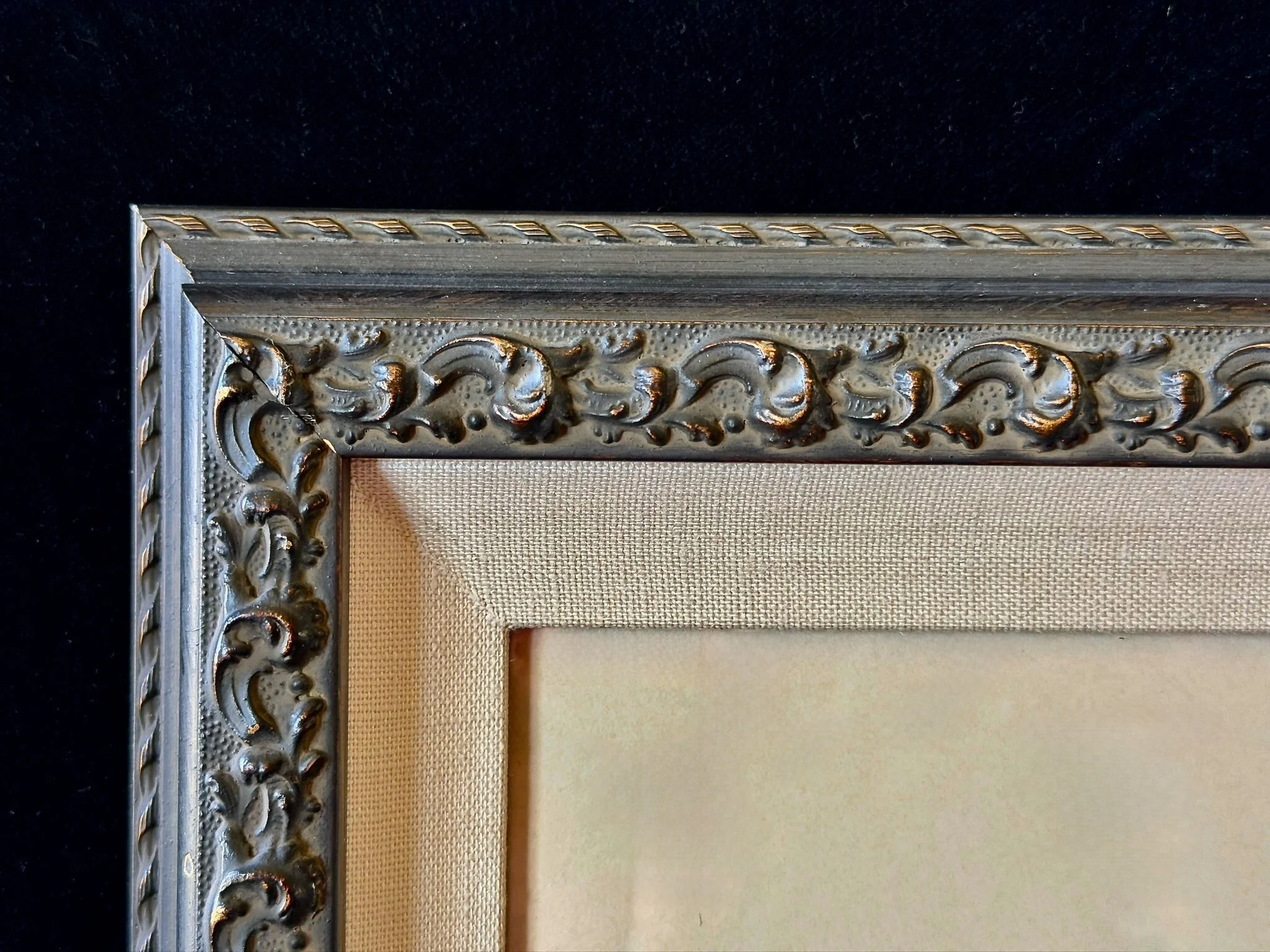
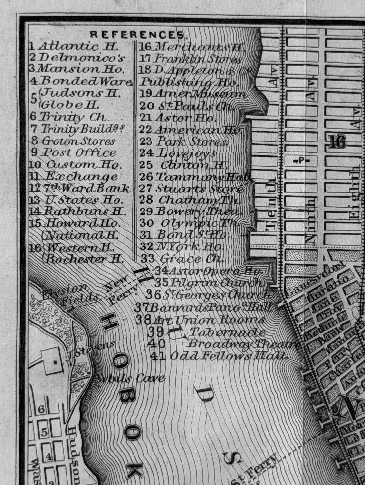
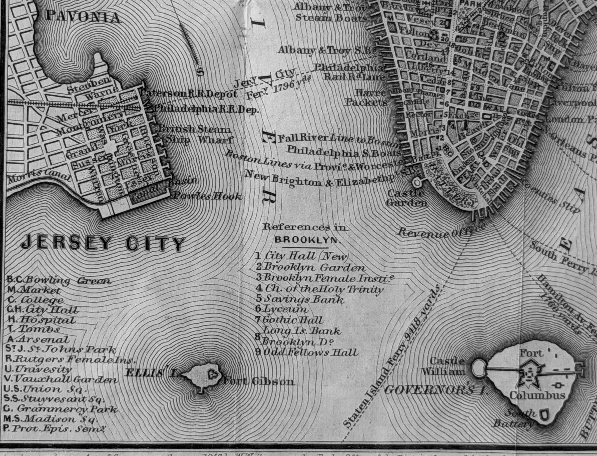
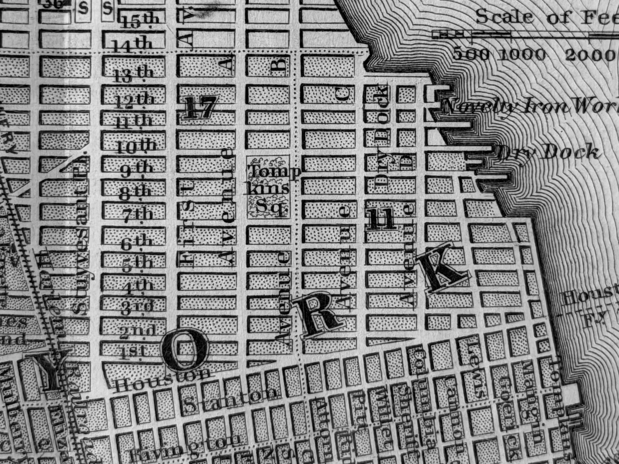
The map shows Lower Manhattan, (before the creation of Central Park), Brooklyn and parts of Jersey City.

Created by William Williams and included in the Appleton’s Handbook of American Travel.

The map shows Lower Manhattan, (before the creation of Central Park), Brooklyn and parts of Jersey City.

Created by William Williams and included in the Appleton’s Handbook of American Travel.

Copyright. All rights reserved.

Mel@GalleryBoxArt.com